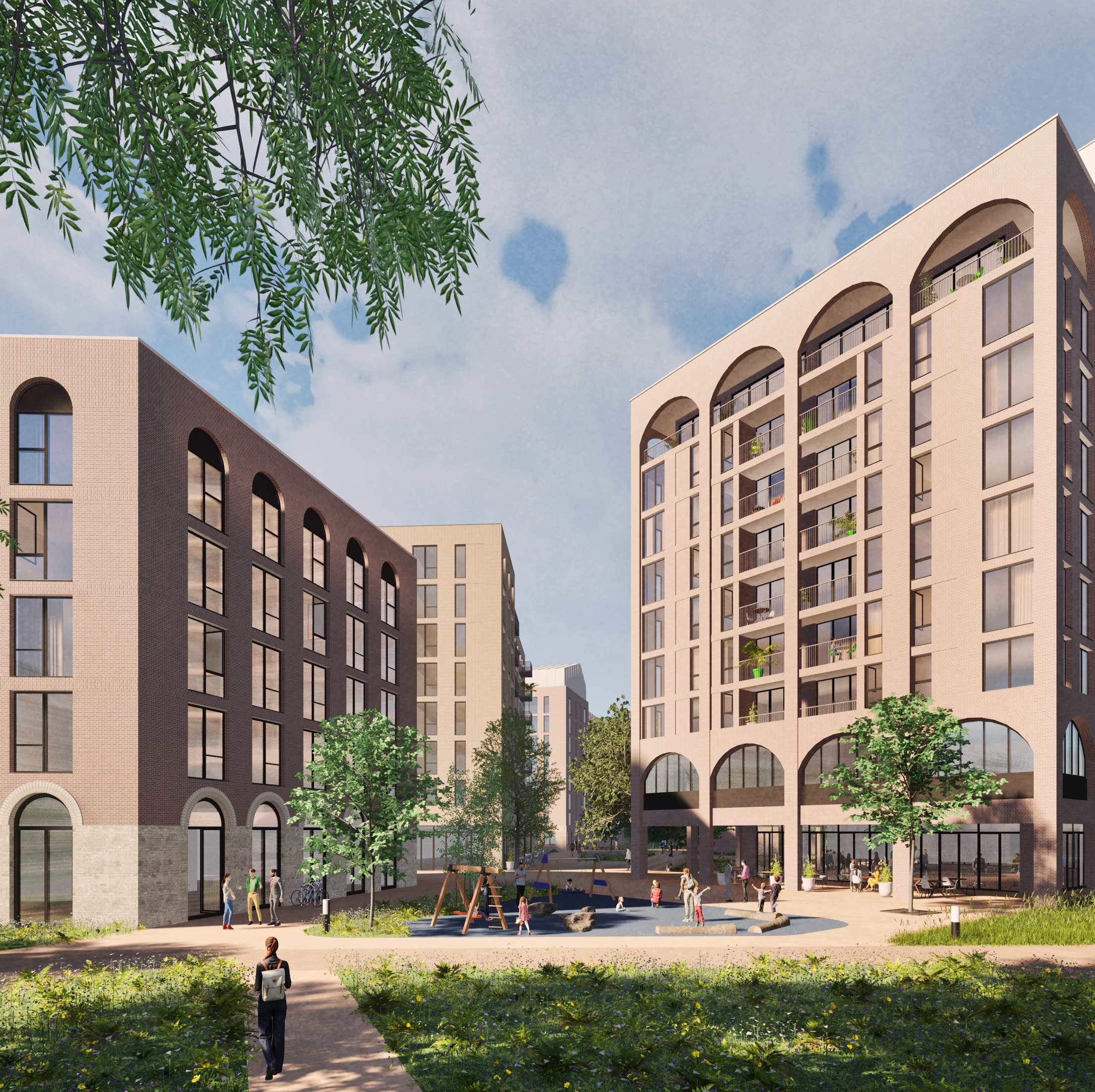
GETTING AROUND
Making sustainable travel easy for
new residents
By funding public transport improvements, creating safer cycle routes, and adding new pedestrian links, we’re helping everyone spend less time stuck in traffic and enjoy their neighbourhood more. Measures include:
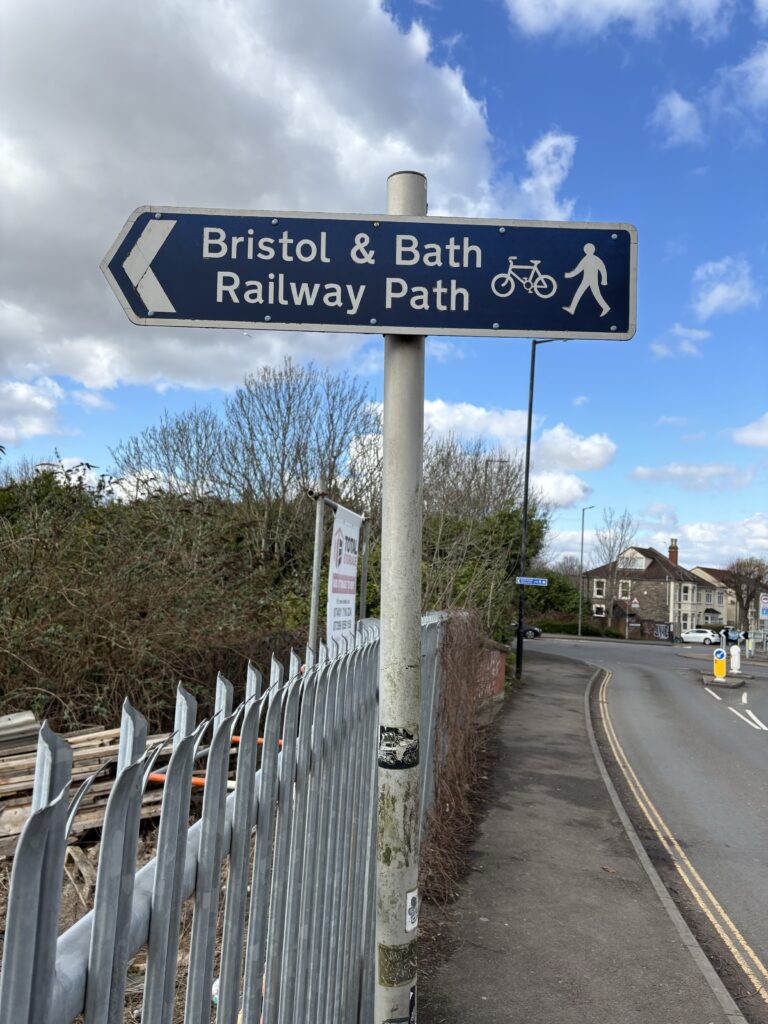
- Easy access to Bristol and Bath Railway Path, whose connections provide safe and more accessible walking and cycling routes to the centres of Bristol and Bath.
- Secure cycle parking and storage facilities beyond minimal provision levels.
- Mobility hub(s) providing access to bicycles available for hire, including cargo bikes and trolleys, and a centralised location for deliveries.
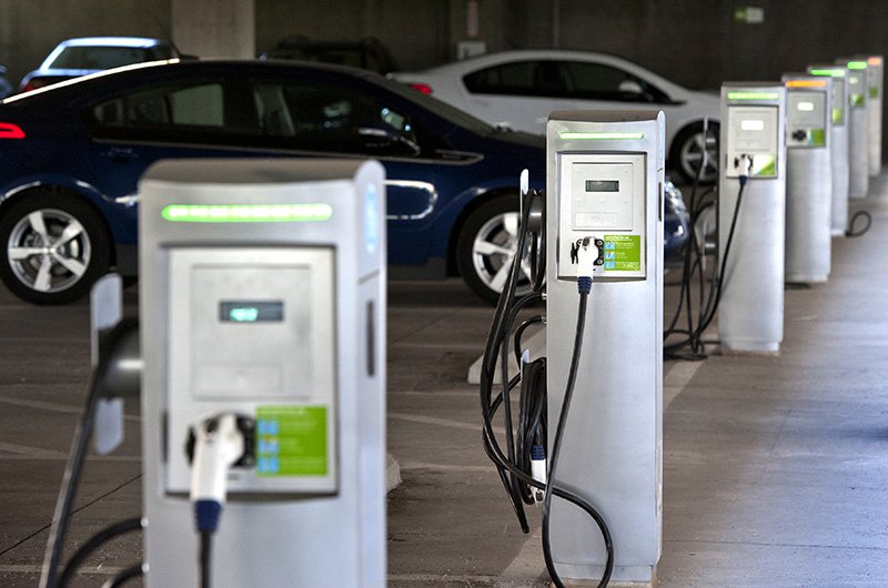
- Electric car charging points and Car Club options.
We will provide c400 secure parking spaces under buildings which will be allocated to Timber Mills residents, alongside c40 external parking spaces for residents, and some external visitor parking spaces.
Site access
Vehicle access will be provided via two new junctions on Goodneston Road, designed in collaboration with Bristol City Council. These junctions will prioritise pedestrian and cycling movement in line with the Atlas Place Masterplan, ensuring a safe and seamlessly connected streetscape.
Enhancing public transport links
We will contribute funding to improve local public transport infrastructure, ensuring our plans for Fishponds and Hillfields are sustainable. These improvements, known as Section 106 obligations, will be agreed with Bristol City Council, focusing on enhancing public transport, promoting sustainable travel, and reducing road congestion.
Wider network transformation
Atlas Place requires the road, pedestrian, and cycle network around the existing neighbourhood to change to accommodate more homes, services, and people. Bristol City Council is leading the design work on these, which include adjustments to Filwood Road, near the railway bridge. Other proposals may also be required, including on Lodge Causeway to fuse new cycle and pedestrian routes with how the existing road functions.
We will work with the Council to identify where we can support their proposed improvements with our scheme. However, the individual schemes needed to support Atlas Place are unlikely to be part of our planning application.
Filwood Road improvements
The area around the Filwood Road railway bridge is a known bottleneck, and with more homes planned, traffic and safety concerns will grow. The Council’s designs would require land from our site to widen the road, provide parking for the homes on the eastern side of Filwood Road, and other improvements to make transport flows smoother and safer.
Should the Council’s final designs require a portion of our land on the boundary of Filwood Road, we would provide it.
Tell us what you think:
What sustainable transport facilities could we include to encourage more walking, cycling, and public transport use?